Reinebringen – Hiking Guide and Information
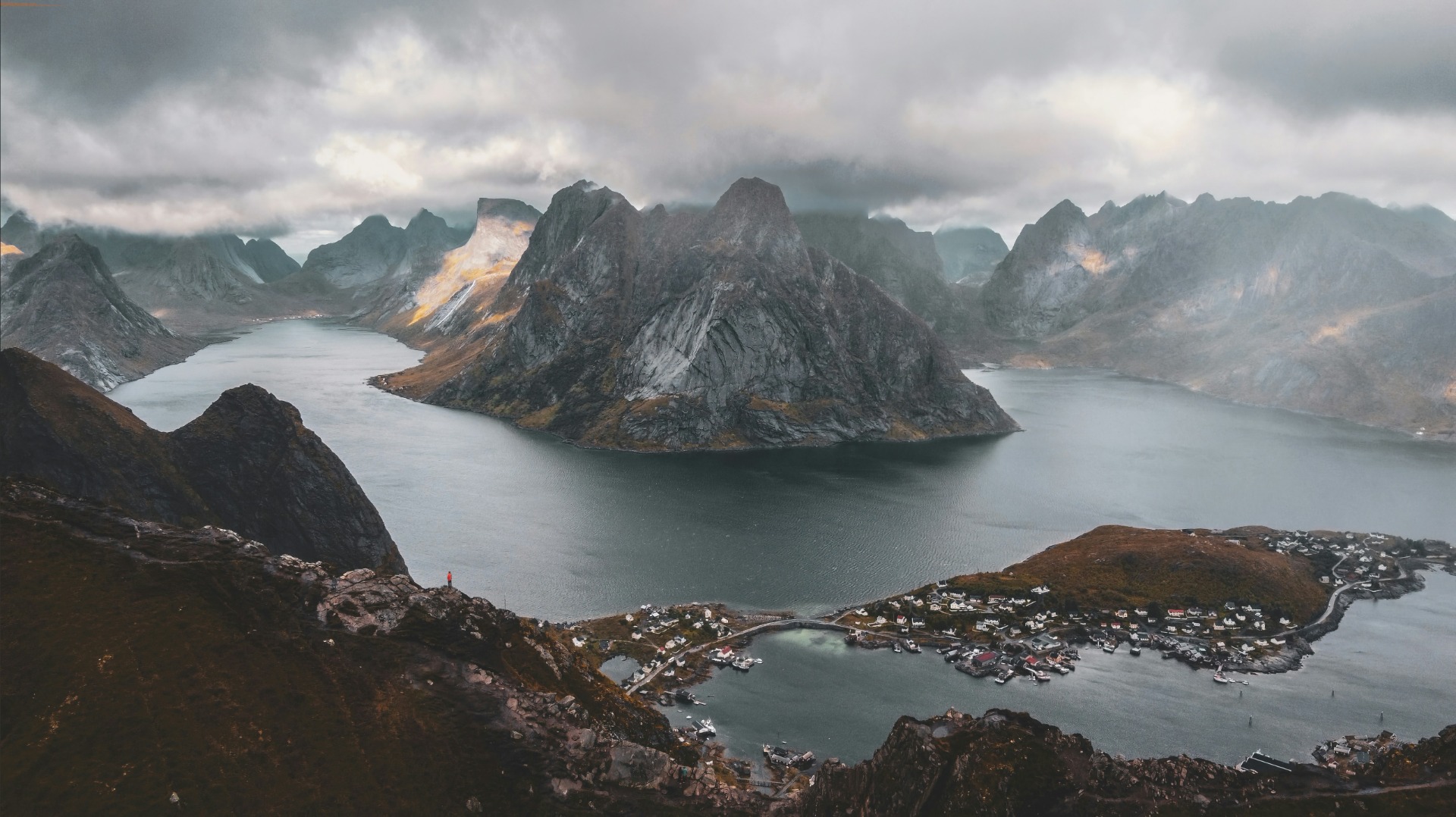
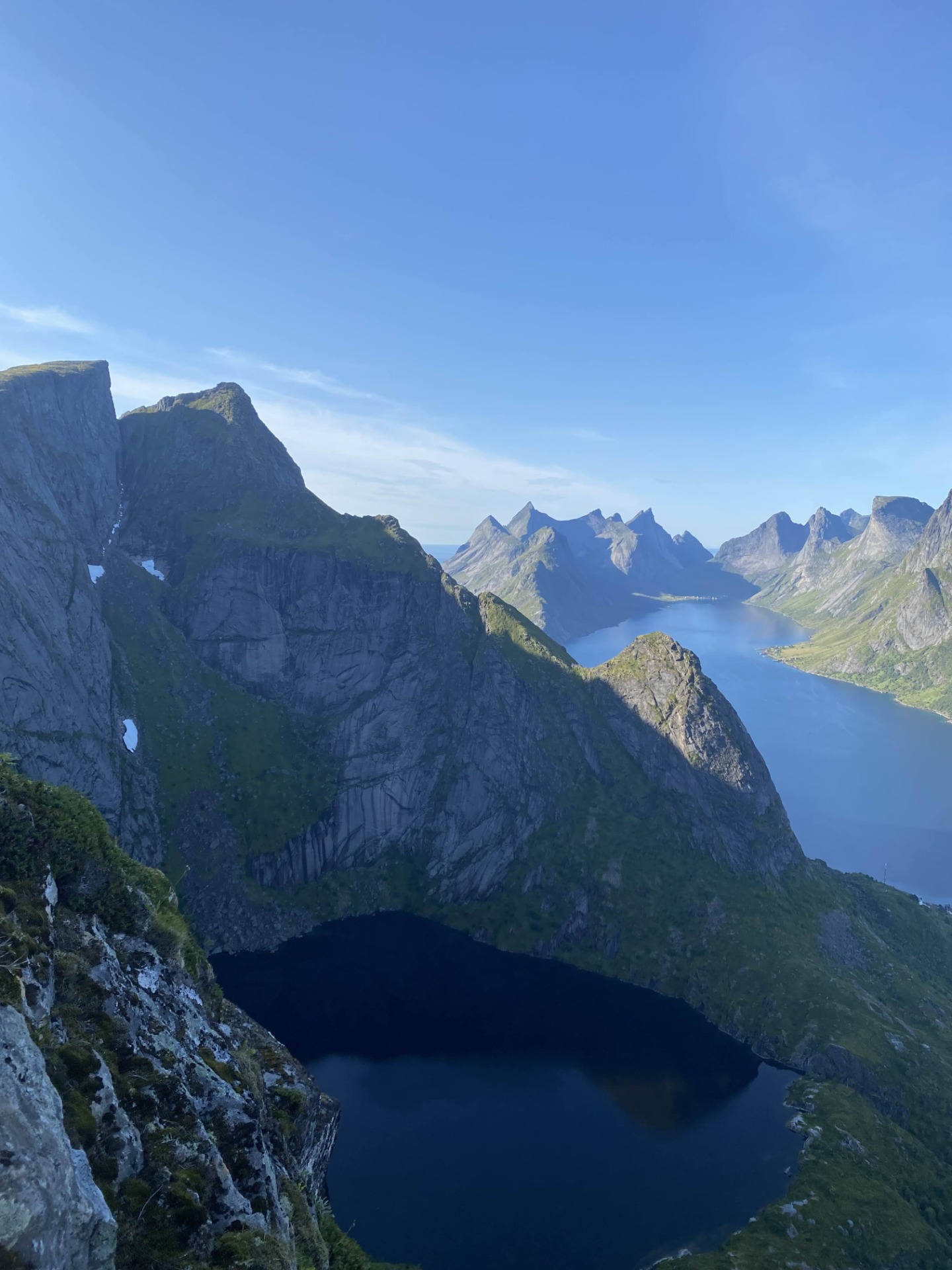
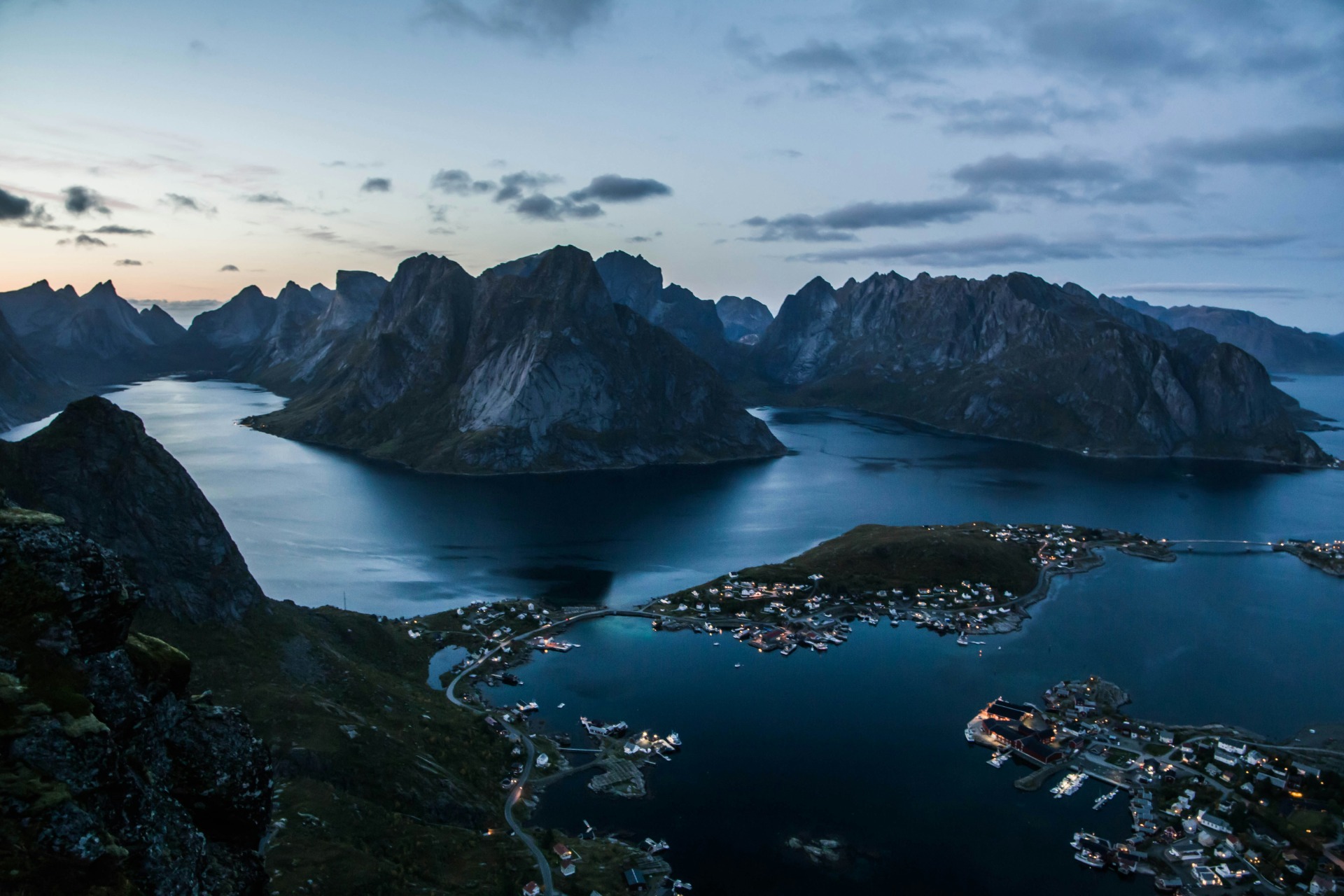
At just 448 meters, Reinebringen is far from the highest peak on the Lofoten Islands. However, what it lacks in height, it more than makes up for with its breathtaking panoramic views. Its accessibility from Reine and its popularity on social media make it one of the most visited hikes in Lofoten, with hundreds of people making the climb daily during the summer season.
The Sherpa Stairway
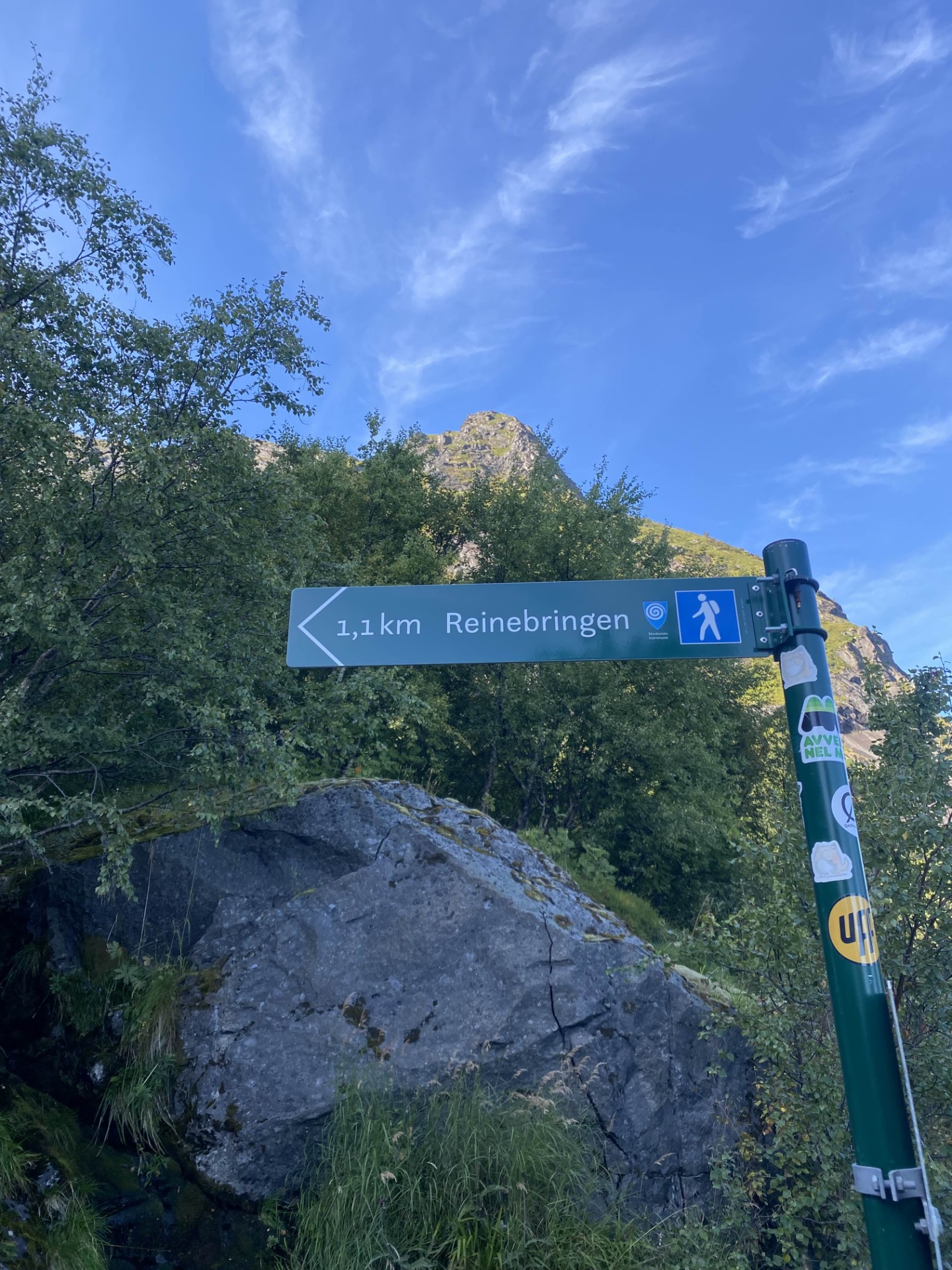
Due to increasing erosion and the danger of rockfalls caused by the large number of visitors, construction of a stone stairway began in 2016. The Sherpa steps were completed in late summer 2021, now leading all the way to the summit ridge with 1978 steps.
Although the stairway makes the climb easier, it is still physically demanding. The repetitive motion of climbing step after step is more exhausting than traditional hiking trails, even steep ones. If you are not an active person, it is advisable to try some easier hikes before attempting Reinebringen.
Getting There
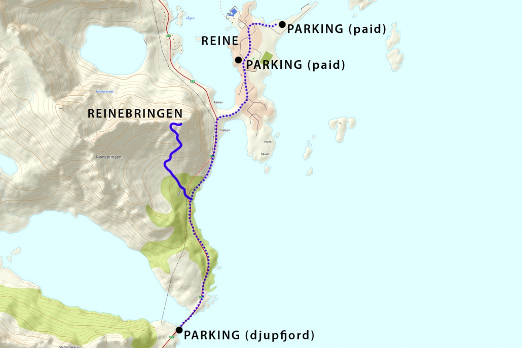
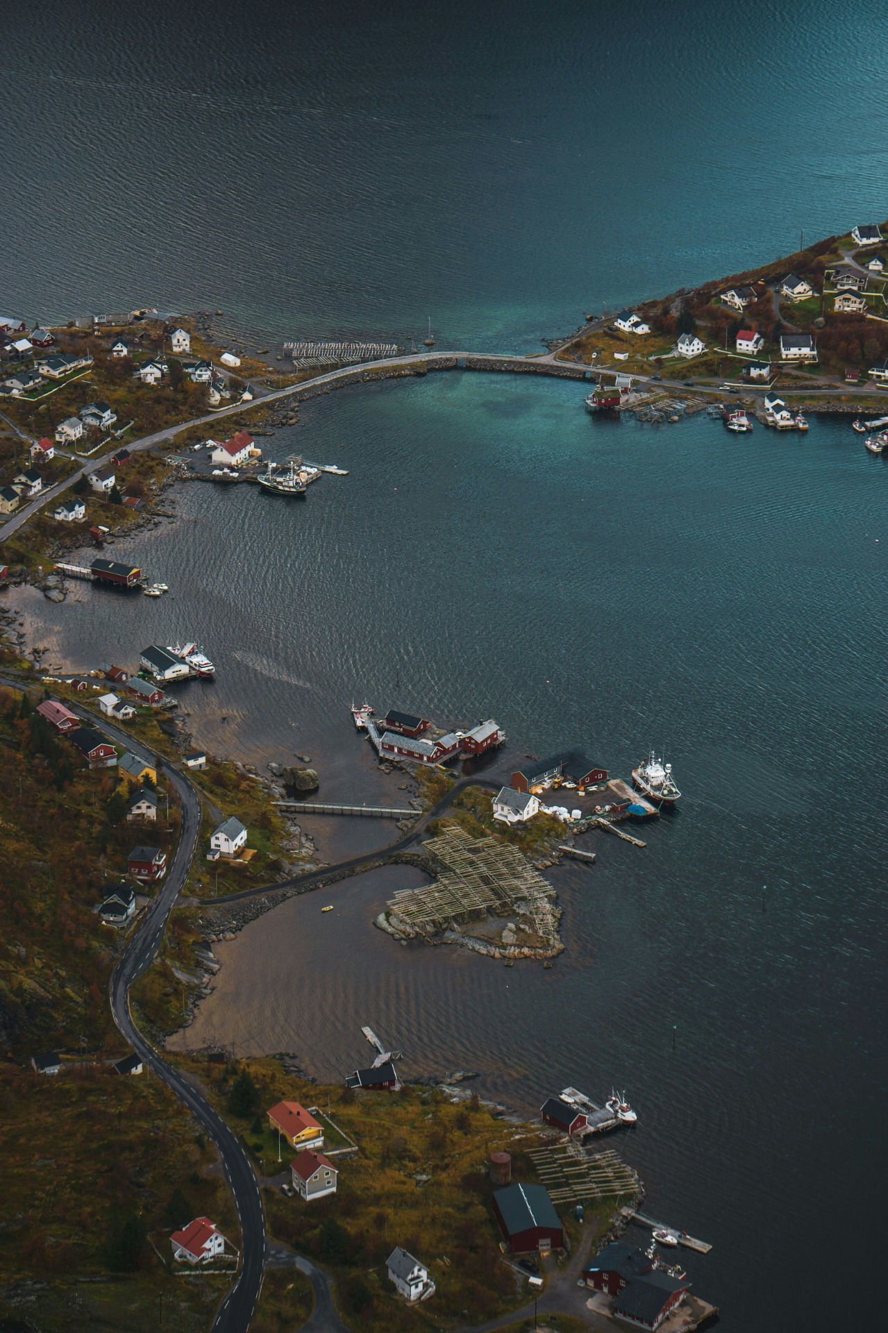
Reinebringen is located immediately west of the village of Reine, with the stairway starting on the western side of the Ramsvik Tunnel, along the old road.
Parking is a major issue since the stairway's completion. Moskenes Kommune requests that visitors park only in designated areas:
- Free parking: Djupfjord Viewpoint – 1.3 km from the trailhead.
- Paid parking:
- Ytre Havn, Reine – 1.8 km from the trailhead, 40 NOK/hour.
- Reine Kultursenter – 150 NOK/day.
Do not park along the E10 road, as you risk receiving a 900 NOK fine.
The Trail
The hike starts at the old road outside Ramsvik Tunnel, leading directly to the Sherpa Stairway.
Step by step, you will climb 1978 stone steps until reaching the summit ridge. The first section is relatively mild, but the steps become steeper and more exposed as you near the top. Due to heavy foot traffic during summer, caution is advised to avoid slipping or falling.
The steps are quite high, which may be challenging for people with shorter legs. There are several rest points along the way.
To reach the viewpoint on the right, there is a steep and muddy path just before the summit. If it has rained recently, this section can be slippery. Alternatively, you can scramble over the rocky ridge to the right, which requires some basic climbing skills.
Camping on Reinebringen
Since June 2021, camping on Reinebringen is forbidden. New regional regulations now override the previous Allemansretten law, which allowed dispersed camping on undeveloped land.
Reinebringen is Not a Winter Hike
If you searched for "Reinebringen in winter," the answer is simple: No, you cannot safely hike Reinebringen in winter.
If you do not own crampons and ice axes, do not attempt this hike in winter. If you are unsure, then you are not experienced enough to do it.
Why is Reinebringen dangerous in winter?
- Frequent avalanches and icefalls occur along the trail.
- The ridge is covered with overhanging snow cornices that change with the wind. A single misstep can result in a 400-meter fall.
- The snow conditions change drastically – soft snow at the bottom turns into hardened, icy layers near the top, making footing unpredictable.
Despite numerous warning signs, some hikers will still attempt Reinebringen in winter. Most will return safely. But some will get stuck in freezing winds and darkness, waiting for a rescue helicopter. Others won't be as lucky.
No one will care or even notice if you didn't hike Reinebringen in winter. But they will care if you die.

Contact
We are a professional photography company specializing in photography and drone videography at Reinebringen. Our services are available in the town of Reine and the surrounding areas.
Reinebringen Photography
Reinebringen, 8390 Reine, Norway